This is the content of the pop-over!


MCA Middle Social Science (014) Practice Tests & Test Prep by Exam Edge - Free Test


Our free MCA Middle School Education Social Science (014) Practice Test was created by experienced educators who designed them to align with the official Missouri Content Assessments content guidelines. They were built to accurately mirror the real exam's structure, coverage of topics, difficulty, and types of questions.

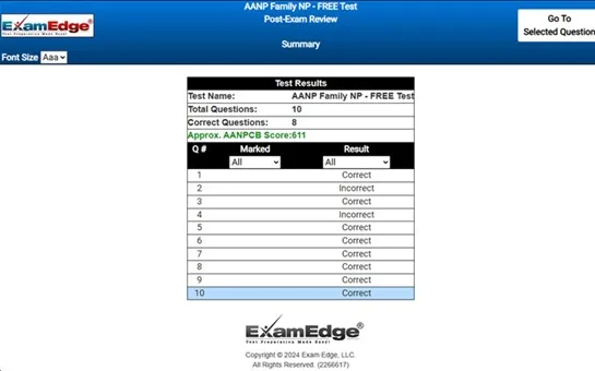
Upon completing your free practice test, it will be instantly reviewed to give you an idea of your score and potential performance on the actual test. Carefully study your feedback to each question to assess whether your responses were correct or incorrect. This is an effective way to highlight your strengths and weaknesses across different content areas, guiding you on where to concentrate your study efforts for improvement on future tests. Our detailed explanations will provide the information you need to enhance your understanding of the exam content and help you build your knowledge base leading you to better test results.

Login or Create an Account to take a free test

After you have completed your free test you will receive a special promo code that will save your between 10-15% on any additional practice tests!


** Sample images, content may not apply to your exam **


Additional test information
Back To General Exam Info

MCA Middle School Education Social Science - Free Test Sample Questions

Cartographers use elevation and relief on maps.  What are elevation and relief?


Correct Answer:
elevation is the height or depth above or below a baseline. relief is the variation of elevation from place to place.


elevation and relief are essential concepts used in cartography to describe the earth's surface. elevation refers to the height or depth of a point on the earth's surface relative to a specific baseline, usually sea level. this means when we talk about elevation, we are discussing how high or low something is in relation to the level of the sea. for instance, if a mountain's peak is 2,000 meters above sea level, its elevation is 2,000 meters.

relief, on the other hand, describes the variation in elevation between different points on the earth's surface. it highlights the differences in height and provides a way to understand the topography of an area. relief can be shown in several ways on maps, such as through contour lines, shading, or color gradients. each method provides visual cues to help users understand the landscape, whether it's identifying mountain ranges, valleys, or plains.

the earth's surface is irregular and complex, with features ranging from vast mountain ranges to deep ocean trenches. by utilizing elevation, cartographers can specify the absolute height or depth of these features. relief adds another layer of detail, showing how these features rise and fall relative to each other. this combination allows for a more comprehensive representation of geographical features on maps.

in practice, cartographers often use a combination of both elevation and relief to create maps that are not only informative but also easier to understand. for instance, a hiking map might use elevation numbers to indicate the height of mountain peaks and passes, while relief might be depicted through shaded relief or contour lines to show how steeply the land rises or falls, which can help hikers prepare for the terrain ahead.

ultimately, the use of elevation and relief in cartography is crucial for providing a clear and accurate representation of the earth's surface. these tools help various users, from hikers and pilots to scientists and city planners, to navigate, plan, and conduct their activities with a better understanding of geographical contexts.